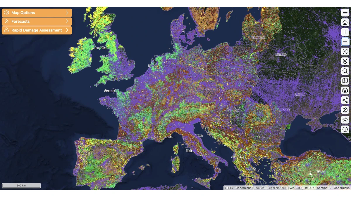
Copernicus, the European Union's Earth observation program, has introduced Fire Emissions Watch, a new browser-based tool from its Atmosphere Monitoring Service (CAMS) that puts near-real-time global wildfire emissions data within a few clicks.
According to Copernicus, the application draws on the CAMS Global Fire Assimilation System (GFAS) dataset, pairing satellite-based emission estimates with smoke-plume forecasts from the European Centre for Medium-Range Weather Forecasts' (ECMWF) Integrated Forecasting System. Early use of the tool already shows France in the middle of its worst July on record for fire carbon emissions, at 0.89 megatonnes of carbon, well past the previous high of 0.64 megatonnes set in 2022.
Users can filter daily, monthly, and year-to-date emissions by grid cell, by country or region, or through a custom-drawn area, and can replay smoke transport for any selected period. For July 2026, Copernicus data show Canada posting the largest fire emissions of any country in the app's global view, while the regional view also captures large fires in the Fontainebleau forest near Paris and across southeast France. A companion metric, Fire Radiative Power, measured in gigawatts from satellite observations, points to unusually intense fire activity behind the 2026 French totals, even in places where the carbon-emission numbers alone understate it.
The Copernicus-built tool also reaches back to 2003, letting users compare the 2026 fires against the 2019 blazes in Russia's Far East and the Amazon, Canada's record 2023 fire season, and the 2003 European heatwave. The application runs on newly reformatted ECMWF data stores in the cloud-native Zarr format, which Copernicus says lets it handle large, multi-dimensional datasets directly in a browser instead of through bulk downloads. CAMS director Laurence Rouil said the application displays the GFAS dataset "in a very intuitive and innovative way, enabling users, researchers and media to understand fire emissions in a totally new way."